Atasehir Urban Transformation Project
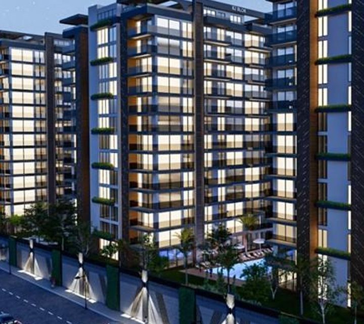
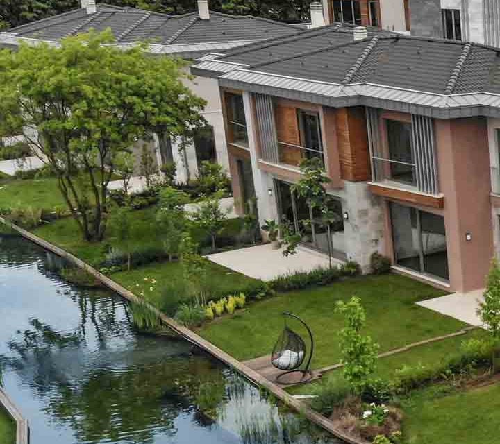
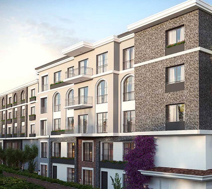
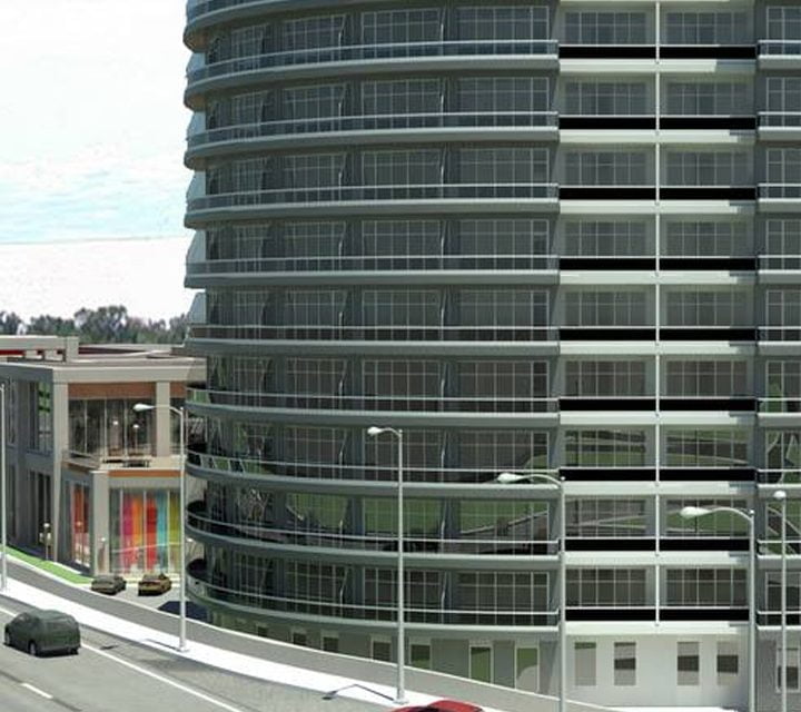
In the Ataşehir Region, which will become the new financial center of Istanbul, where many residential areas and business opportunities have started to be invested, 4 residence blocks and 1.500 apartments will be built by our company on a 65.000 m2 of land. In this project where comfort plays a leading role, there will be a living space where every expectation will be met.
Ataşehir, which became a county in 2008, has Maltepe to its south, Kadıkoy to its west, Üsküdar to its northwest, Ümraniye to its north, Çekmekoy to its northeast and Sancaktepe to its east. The county is 25.84 square kilometres in area, has a population of 419,368 and includes a total of 17 Neighborhoods.
According to Article 2 of the law, the part of Ataşehir to the north of Tem Highway was connected to Ümraniye County, and Kadıkoy Municipality Animal Shelter located in this region was included within the Ümraniye borders. While the O-4 connection road to the Bosphorus Bridge forms the northern border of Ataşehir County, the land approved for the financial center within the borders of Barbaros Neighborhood is the only area left north of this highway. The part of Ferhatpaşa Neighborhood, which is located between Kayışdağı and E-80 Highway and within the borders of Samandıra Municipality of Kartal County and is on the south of E-80 and D-100 linking road, was connected to Ataşehir, while the part of Mustafa Kemal Neighborhood (approximately three out of four) which is located under the O-4 Highway within the borders of Ümraniye County Municipality was connected to Ataşehir. Once again, a small part of Namık Kemal Neighborhood under the O-4 is among the areas that are connected to Ataşehir.
